 Old Cumbria Gazetteer
 |
 |
|
| Bannerdale, Martindale | ||
| Bannerdale | ||
| locality:- | Martindale Common | |
| civil parish:- | Martindale (formerly Westmorland) | |
| county:- | Cumbria | |
| locality type:- | valley | |
| coordinates:- | NY42761569 (etc) | |
| 1Km square:- | NY4215 | |
| 10Km square:- | NY41 | |
|
|
||
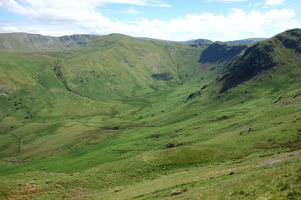 CDL81.jpg (taken 30.6.2015) 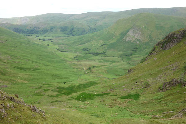 CDL95.jpg (taken 30.6.2015) |
||
|
|
||
| evidence:- | old map:- OS County Series (Wmd 12 16) placename:- Bannerdale |
|
| source data:- | Maps, County Series maps of Great Britain, scales 6 and 25
inches to 1 mile, published by the Ordnance Survey, Southampton,
Hampshire, from about 1863 to 1948. |
|
|
|
||
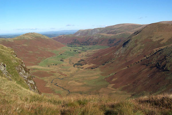 BTS70.jpg (taken 20.10.2010) 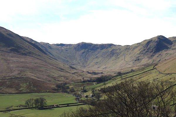 CCU90.jpg (taken 8.4.2015) |
||
|
|
||
 Lakes Guides menu.