 Old Cumbria Gazetteer
 |
 |
|
| Asby Winderwath Common, Asby | ||
| Asby Winderwath Common | ||
| locality:- | Winderwath | |
| civil parish:- | Asby (formerly Westmorland) | |
| county:- | Cumbria | |
| locality type:- | common | |
| coordinates:- | NY65791076 (etc) | |
| 1Km square:- | NY6510 | |
| 10Km square:- | NY61 | |
|
|
||
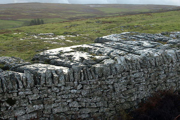 BRX28.jpg A bit of limestone pavement, and wall, and low winter sunshine. (taken 20.11.2009) |
||
|
|
||
| evidence:- | old map:- OS County Series (Wmd 22 6) placename:- Asby Winderwath Common |
|
| source data:- | Maps, County Series maps of Great Britain, scales 6 and 25
inches to 1 mile, published by the Ordnance Survey, Southampton,
Hampshire, from about 1863 to 1948. |
|
|
|
||
 Lakes Guides menu.