 Old Cumbria Gazetteer
 |
 |
|
| Arnside Knott, Arnside | ||
| Arnside Knott | ||
| locality:- | Arnside Fell | |
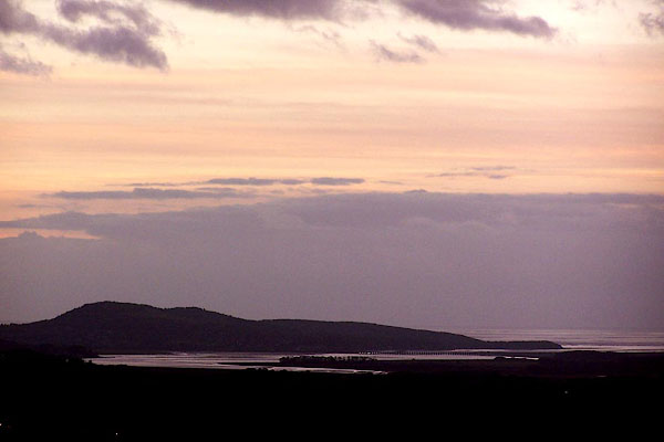
| civil parish:- | Arnside (formerly Westmorland) | |
| county:- | Cumbria | |
| locality type:- | hill | |
| coordinates:- | SD45587742 (etc) | |
| 1Km square:- | SD4577 | |
| 10Km square:- | SD47 | |
| altitude:- | 522 feet | |
| altitude:- | 159m | |
|
|
||
 BLL94.jpg (taken 16.12.2005) |
||
|
|
||
| evidence:- | old map:- OS County Series (Wmd 46 10) placename:- Arnside Knott |
|
| source data:- | Maps, County Series maps of Great Britain, scales 6 and 25
inches to 1 mile, published by the Ordnance Survey, Southampton,
Hampshire, from about 1863 to 1948. |
|
|
|
||
| evidence:- | descriptive text:- West 1778 (11th edn 1821) placename:- Arnside Knot item:- limestone; shillow |
|
| source data:- | Guide book, A Guide to the Lakes, by Thomas West, published by
William Pennington, Kendal, Cumbria once Westmorland, and in
London, 1778 to 1821. goto source goto sourcePage 101, footnote:- "..." "The greatest quantity of limestone hills contained in this tour lie within the district bounded by Kendal, Witherslack, Kellet, and Hutton roof. And the most beautiful of them, as seen at a distance, are Farlton and Arnside knots, Witherslack-scar, and Warton-crag. The two first have their highest parts, which are neatly rounded, covered in a great measure with small fragments of limestone (called shillow) which gives them at all times an uncommon and beautiful appearance. But at the latter end of the year, when the foliage of the copses on their sides, and the grass which is interspersed along their glades near their tops, have gained an olive hue, no objects of the kind can appear more elegantly coloured. ..." |
|
|
|
||
| person:- | : National Trust |
|
|
|
||
Lakes Guides menu.