 Old Cumbria Gazetteer
 |
 |
|
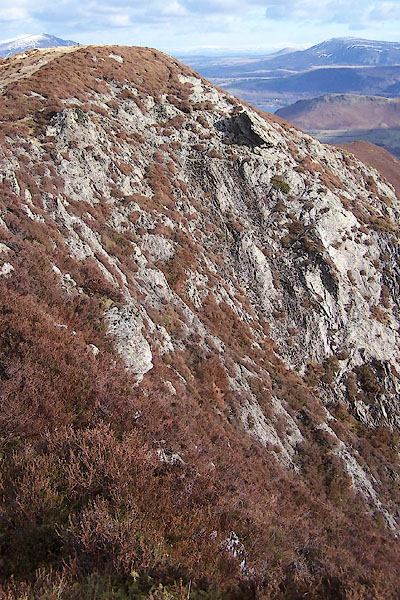
| Ard Crags, Above Derwent | ||
| Ard Crags | ||
| civil parish:- | Above Derwent (formerly Cumberland) | |
| county:- | Cumbria | |
| locality type:- | rocks | |
| coordinates:- | NY20811981 (etc) | |
| 1Km square:- | NY2019 | |
| 10Km square:- | NY21 | |
|
|
||
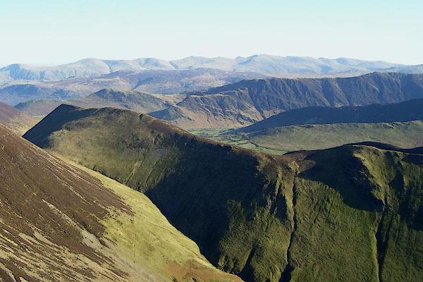 BOR77.jpg (taken 13.2.2008) |
||
|
|
||
| evidence:- | old map:- OS County Series (Cmd 63 16) placename:- Ard Crags |
|
| source data:- | Maps, County Series maps of Great Britain, scales 6 and 25
inches to 1 mile, published by the Ordnance Survey, Southampton,
Hampshire, from about 1863 to 1948. |
|
|
|
||
 BSD27.jpg (taken 19.2.2010) 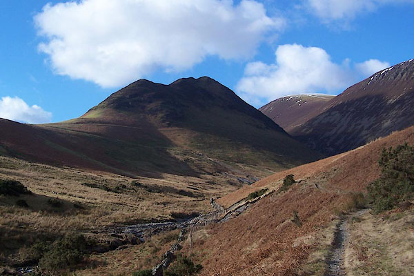 BSD26.jpg Aikin Knott and Ard Crags. (taken 10.2.2010) |
||
|
|
||
 Lakes Guides menu.