 Old Cumbria Gazetteer
 |
 |
|
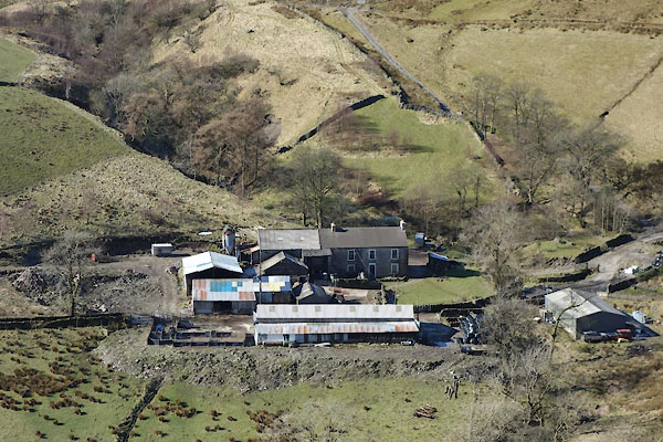
| Adamthwaite, Ravenstonedale | ||
| Adamthwaite | ||
| locality:- | Wandale | |
| civil parish:- | Ravenstonedale (formerly Westmorland) | |
| county:- | Cumbria | |
| locality type:- | buildings | |
| coordinates:- | SD71019989 | |
| 1Km square:- | SD7199 | |
| 10Km square:- | SD79 | |
|
|
||
 CER31.jpg (taken 7.3.2016) 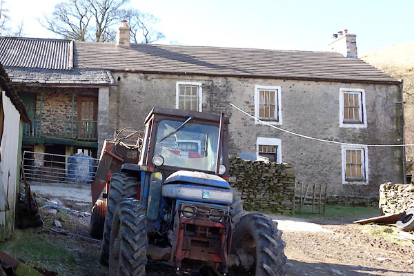 CER42.jpg (taken 7.3.2016) |
||
|
|
||
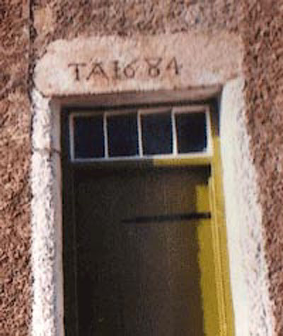 CHC48.jpg Date stone:- "TA 1684" courtesy of Sue Mastell |
||
|
|
||
| evidence:- | old map:- OS County Series (Wmd 35 4) placename:- Adamthwaite |
|
| source data:- | Maps, County Series maps of Great Britain, scales 6 and 25
inches to 1 mile, published by the Ordnance Survey, Southampton,
Hampshire, from about 1863 to 1948. |
|
|
|
||
| evidence:- | old map:- Jefferys 1770 (Wmd) placename:- Adamthwaite |
|
| source data:- | Map, 4 sheets, The County of Westmoreland, scale 1 inch to 1
mile, surveyed 1768, and engraved and published by Thomas
Jefferys, London, 1770.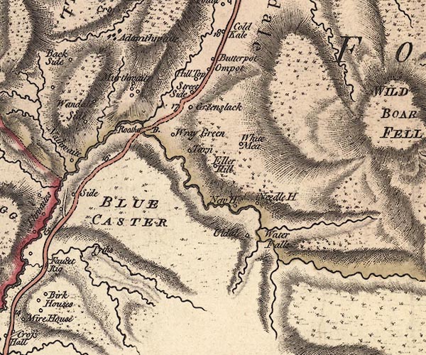 J5SD79NW.jpg "Adamthwaite" blocks, labelled in italic lowercase text; settlement, village? item:- National Library of Scotland : EME.s.47 Image © National Library of Scotland |
|
|
|
||
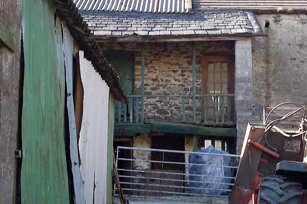 CER43.jpg The gallery. (taken 7.3.2016) 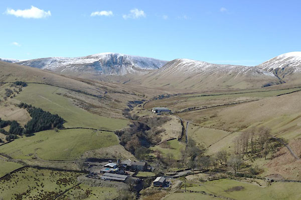 CER32.jpg Adamthwaite Sike, Yarlside, Kensgriff, etc in background. (taken 7.3.2016) 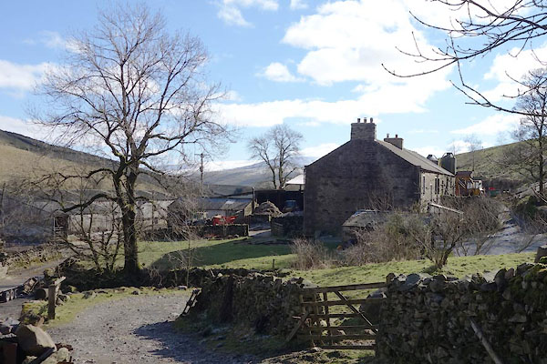 CER41.jpg (taken 7.3.2016) |
||
|
|
||
| hearsay:- |
There gallery is dated 1684. The stair is rebuilt. At clipping time a helper stood
up here to catch fleeces thrown up, to take them into the barn behind. |
|
|
|
||
 Lakes Guides menu.