 Jefferys 1770 SD68NE

|

|
|
|
gazetteer links places may or may not be labelled on the map |
||

|
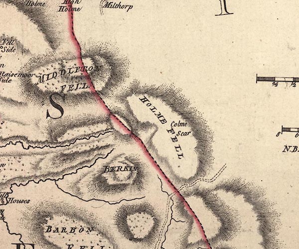
-- Barkin Top |
|
|
|
-- Calf Top -- "BERKIN" |
|
|
|
-- Holme Fell -- "HOLME FELL" |
|
|
|
-- Holme Knott -- "Colme Scar" |
|
|
|
-- Middleton Fell -- "MIDDLETON FELL" -- "BARBON
FELL" |
|
|
civil parishes The area roughly includes parts of parishes:- Middleton Barbon Sedbergh Dent |
||
|
|
||
|
|
Lakes Guides menu. | |