 Jefferys 1770 SD67NE

|

|
|
|
gazetteer links places may or may not be labelled on the map |
||

|
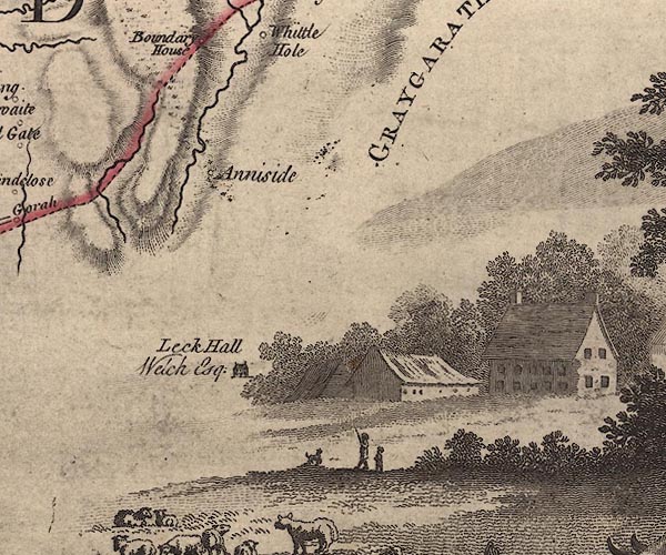
-- Anneside -- "Anniside" |
|
|
|
-- Eller Beck |
|
|
|
-- Gragareth -- "GRAYGARATH" |
|
|
|
-- Leck Hall -- "Leck Hall / Welch Esqr." |
|
|
civil parishes The area roughly includes parts of parishes:- Casterton |
||
|
counties The area includes parts of counties:- Lancashire |
||
|
|
||
|
|
Lakes Guides menu. | |