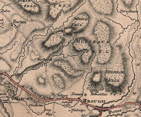
 Jefferys 1770 NY71NE

|

|
|
|
gazetteer links places may or may not be labelled on the map |
||

|
-- Brough Hill -- "BROUGH HILL" |
|
|
|
-- Demesne -- "Demain" |
|
|
|
-- Flitholme -- "Fleetholm" |
|
|
|
-- Helbeck Fell -- "HELBECK FELL" |
|
|
|
-- Helbeck Hall -- "Hillbeck Hall" |
|
|
|
-- Helbeck -- "Helbeck" |
|
|
|
-- High Burtergill -- "Burtergill" |
|
|
|
-- Lowgill Bridge |
|
|
|
-- Middle Fell -- "MIDDLE FELL" |
|
|
|
-- milestone, Brough -- "1" |
|
|
|
-- milestone, Musgrave -- "2" |
|
|
|
-- Musgrave Fell -- "MUSGRAVE FELL" |
|
|
|
-- Bowes to Brough |
|
|
|
-- Brough to Appleby -- "Roman Military Way" |
|
|
|
-- Lowgill Turn Pike -- "Tollgate" |
|
|
|
-- West View -- "Lowgill Lane" |
|
|
civil parishes The area roughly includes parts of parishes:- Warcop Musgrave Helbeck |
||
|
|
||
|
|
Lakes Guides menu. | |