 Jefferys 1770 NY41NE

|

|
|
|
gazetteer links places may or may not be labelled on the map |
||

|
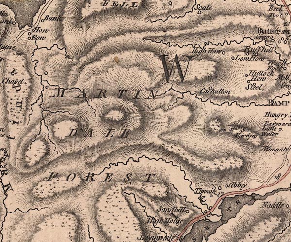
-- Abbey -- "Abbey" |
|
|
|
-- Carhullan -- "Carhullon" |
|
|
|
-- Drybarrows -- "Dry Barrow" |
|
|
|
-- Hawes Water -- "HALLSWATER" |
|
|
|
-- High Howe -- "High How" |
|
|
|
-- Low Howe -- "Low How" |
|
|
|
-- Martindale Common -- "MARTINDALE FOREST" |
|
|
|
-- Measand Beck |
|
|
|
-- Sandhill -- "Sandhill" |
|
|
|
-- Thwaite -- "Thwaite" |
|
|
civil parishes The area roughly includes parts of parishes:- Martindale Barton Bampton Shap |
||
|
|
||
|
|
Lakes Guides menu. | |