button to main menu   Jefferys 1770 SD5193H
Note: click on map edges for adjacent squares
Jefferys 1770
(Area of roughly corresponding to Jefferys 1770 SD5193H plus overlaps, North at the top; the original map is printed with North at the top)

item:-  National Library of Scotland : EME.s.47
image:-  © National Library of Scotland
gazetteer links

places may or may not be labelled on the map

button -- 
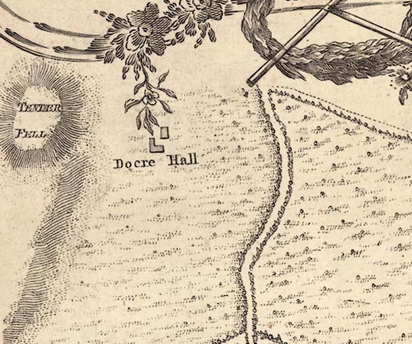
Dockray Hall -- "Docre Hall"-- Dockray Hall -- "Doker Hall"
button -- Burneside road-- Burneside road

civil parishes

The area roughly includes parts of parishes:-

    Kendal

button to Lakes menu Lakes Guides menu.
go W; to SD5193C go E; to SD5193M go S; to SD5193G back to index map