 Jansson 1646 SD38


|

|
|
|
gazetteer links places may or may not be labelled on the map |
||

|
-- Leven, River |
|
|
|
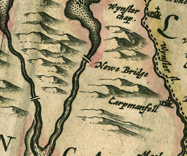
-- Newby Bridge -- "Newe Bridge" |
|
|
|
-- Spark Bridge |
|
|
|
-- Windermere lake -- "Wynander mere flud" |
|
|
civil parishes The area roughly includes parts of parishes:- Cartmel Fell Lower Allithwaite Broughton East Haverthwaite Colton Lowick Hawkshead Egton with Newland Staveley-in-Cartmel Upper Allithwaite Windermere Satterthwaite |
||
|
|
||
|
|
Lakes Guides menu. | |