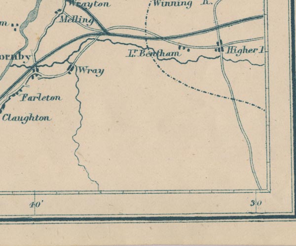
 Garnett 1850s-60s SD66


|

|
|
|
gazetteer links places may or may not be labelled on the map |
||

|
-- High Bentham -- "Higher [ ]" |
|
|
|
-- Low Bentham -- "Lr. Bentham" |
|
|
|
-- North Western Railway -- "Midland Railway" |
|
|
|
-- Wray -- "Wray" |
|
|
counties The area includes parts of counties:- Lancashire North Yorkshire |
||
|
|
||
|
|
Lakes Guides menu. | |