 Garnett 1850s-60s NY33


|

|
|
|
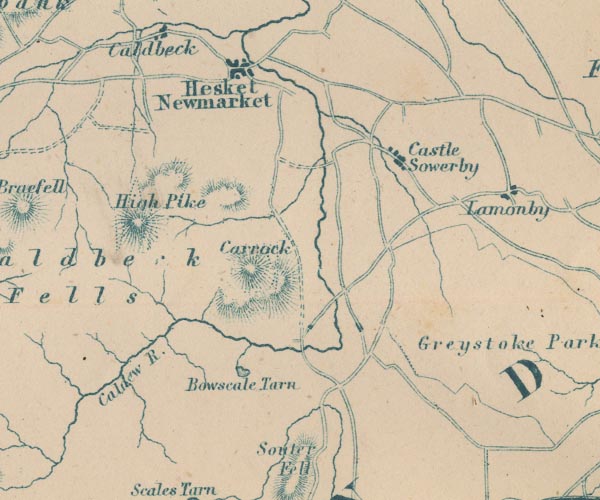
gazetteer links places may or may not be labelled on the map |
||

|
-- Bowscale Tarn -- "Bowscale Tarn" |
|
|
|
-- Caldew, River -- "R. Caldew" -- "R.
Caldew" -- "Caldew R." |
|
|
|
-- Carrock Fell -- "Carrock" |
|
|
|
-- Castle Sowerby -- "Castle Sowerby" |
|
|
|
-- Hesket Newmarket -- "Hesket Newmarket" |
|
|
|
-- High Pike -- "High Pike" |
|
|
civil parishes The area roughly includes parts of parishes:- Underskiddaw Caldbeck Mungrisdale Castle Sowerby Sebergham Greystoke Skelton |
||
|
|
||
|
|
Lakes Guides menu. | |