 Ford 1839 map SD79


|

|
|
|
gazetteer links places may or may not be labelled on the map |
||

|
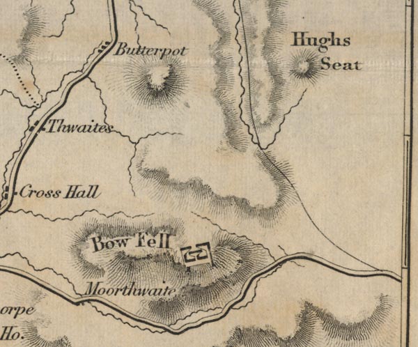
-- Baugh Fell -- "Bow Fell" |
|
|
|
-- Butterpot -- "Butterpot" |
|
|
|
-- Hugh Seat -- "Hugh Seat" |
|
|
|
-- Moorthwaite -- "Moorthwaite" |
|
|
civil parishes The area roughly includes parts of parishes:- Ravenstonedale Mallerstang Garsdale Sedbergh |
||
|
|
||
|
|
Lakes Guides menu. | |