 Ford 1839 map NY77


|

|
|
|
gazetteer links places may or may not be labelled on the map |
||

|
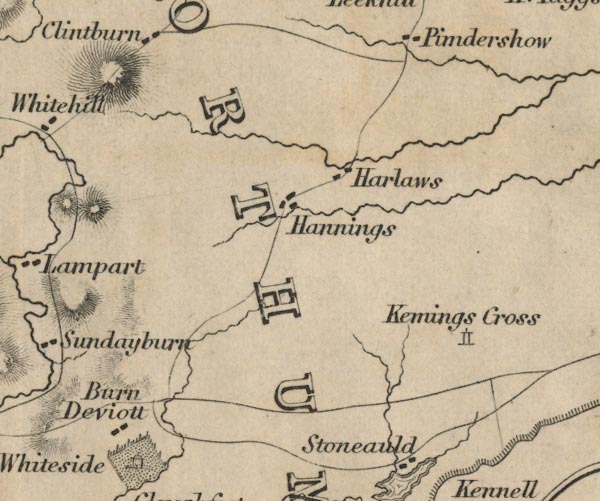
-- Burn Divot -- "Barn Deviott" |
|
|
|
-- cross, Northumberland -- "Kemings Cross" |
|
|
|
-- Haining Farm -- "Hannings" |
|
|
|
-- Harelaw -- "Harlaws" |
|
|
counties The area includes parts of counties:- Northumberland |
||
|
|
||
|
|
Lakes Guides menu. | |