 Ford 1839 map NY73


|

|
|
|
gazetteer links places may or may not be labelled on the map |
||

|
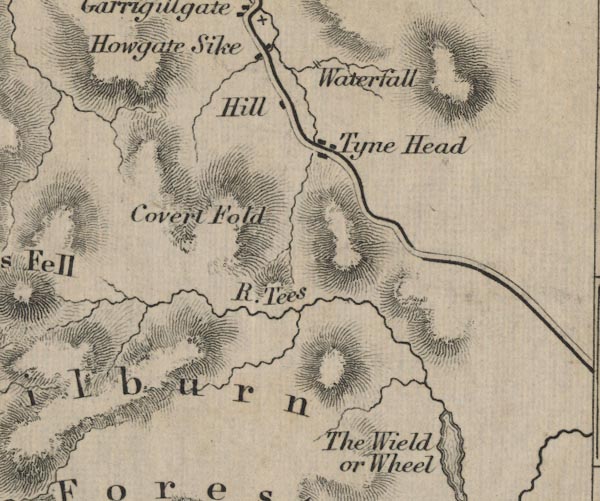
-- Ashgill Force -- "Waterfall" |
|
|
|
-- Calvertfold -- "Covert Fold" |
|
|
|
-- Cow Green Reservoir -- "The Wield or Wheel" |
|
|
|
-- Hill House -- "Hill" |
|
|
|
-- Milburn Forest -- "Milburn Forest" |
|
|
|
-- Tees, River -- "R. Tees" |
|
|
|
-- Tynehead -- "Tyne Head" |
|
|
civil parishes The area roughly includes parts of parishes:- Alston Moor Long Marton Culgaith Milburn Dufton Ousby |
||
|
|
||
|
|
Lakes Guides menu. | |