 Ford 1839 map NY72


|

|
|
|
gazetteer links places may or may not be labelled on the map |
||

|
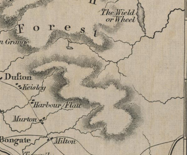
-- Harbour Flatt -- "Harbour Flat" |
|
|
|
-- Hilton -- "Milton" |
|
|
|
-- Milburn Forest -- "Milburn Forest" |
|
|
|
-- Murton -- "Murton" |
|
|
civil parishes The area roughly includes parts of parishes:- Warcop Dufton Murton Musgrave Long Marton |
||
|
|
||
|
|
Lakes Guides menu. | |