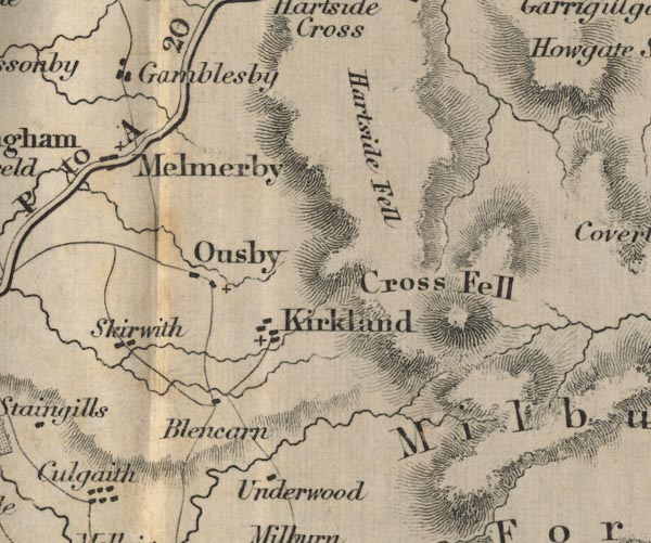
 Ford 1839 map NY63


|

|
|
|
gazetteer links places may or may not be labelled on the map |
||

|
-- Blencarn -- "Blencarn" |
|
|
|
-- Cross Fell -- "Cross Fell" |
|
|
|
-- Gamblesby -- "Gamblesby" |
|
|
|
-- Kirkland -- "Kirkland" |
|
|
|
-- Melmerby Fell -- "Hartside Fell" |
|
|
|
-- Melmerby -- "Melmerby" |
|
|
|
-- Ousby -- "Ousby" |
|
|
|
-- Penrith to Alston -- "P to A 20 Ms." |
|
|
|
-- Skirwith -- "Skirwith" |
|
|
|
-- Underwood -- "Underwood" |
|
|
civil parishes The area roughly includes parts of parishes:- Newbiggin Langwathby Alston Moor Culgaith Milburn Long Marton Glassonby Ousby |
||
|
|
||
|
|
Lakes Guides menu. | |