button to main menu   Ford 1839 map NX90
date  bar
Note: some of these makers maps may not show this square
Note: click on map edges for adjacent squares

Ford 1839 map
(Area of roughly corresponding to Ford 1839 map NX90 plus overlaps, North at the top; the original map is printed with North at the top)

item:-  JandMN (100_1)
image:-  © see bottom of page
gazetteer links

places may or may not be labelled on the map

button -- Irish Sea -- "IRISH SEA" -- "IRISH SEA"
button -- 
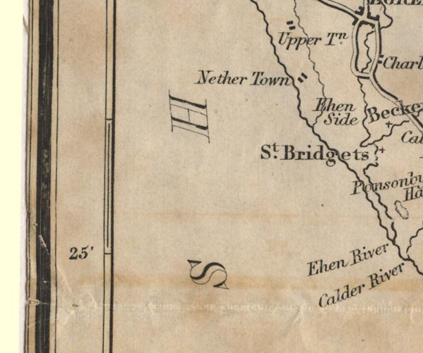
Nethertown -- "Nether Town"

civil parishes

The area roughly includes parts of parishes:-

    Lowside Quarter
    St Bees
    Egremont

button to Lakes menu Lakes Guides menu.
goto NX91 goto NY01 goto NY00 goto SD09 back to index map