 Crosthwaite 1783-94, tetrad SD39I

|

|
|
|
gazetteer links places may or may not be labelled on the map |
||

|
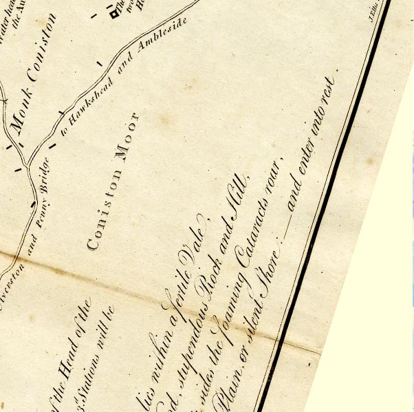
-- Coniston Moor -- "Coniston Moor" |
|
|
|
-- Ulverston to Coniston -- "Road from Ulverston and Penny
Bridge to Hawkshead and Ambleside" -- "From the South
end of Coniston Lake to Ulverston bearing South; 7 1/2 Miles:
..." |
|
|
civil parishes The area roughly includes parts of parishes:- Coniston Hawkshead Satterthwaite |
||
|
|
||
|
|
Lakes Guides menu. | |