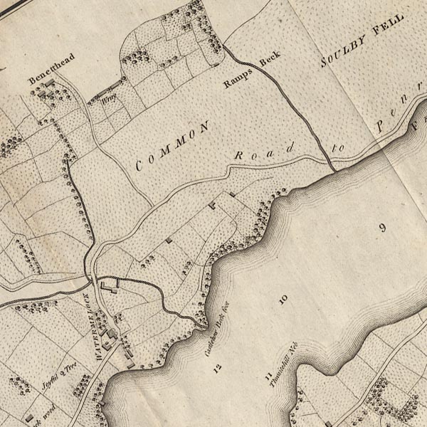
 Clarke 1787 map, tetrad NY42L

|

|
|
|
gazetteer links Places may or may not be labelled on the map. |
||

|
-- "Benetthead" -- Bennett Head |
|
|
|
-- (bridge, Watermillock) |
|
|
|
-- "Castlehow Beck Foot" -- Castlehows Point |
|
|
|
-- "Joyful Tree" -- Joyful Tree |
|
|
|
-- Longthwaite Beck |
|
|
|
-- Pencilmill Beck |
|
|
|
-- "Ramps Beck" -- Ramps Beck |
|
|
|
-- Rampsbeck Hotel |
|
|
|
-- Patterdale to Penrith |
|
|
|
-- "Soulby Fell" -- Soulby Fell |
|
|
|
-- Thwaitehill Bay |
|
|
|
-- "Thwaitehill Neb" -- Thwaitehill Neb |
|
|
|
-- "Watermelock" -- Watermillock |
|
|
|
-- "Wray" -- Wreay |
|
|
civil parishes The area roughly includes parts of parishes:- Matterdale Barton Dacre |
||
|
|
||
|
|
Lakes Guides menu. | |