 Clarke 1787 map, tetrad NY42G

|

|
|
|
gazetteer links Places may or may not be labelled on the map. |
||

|
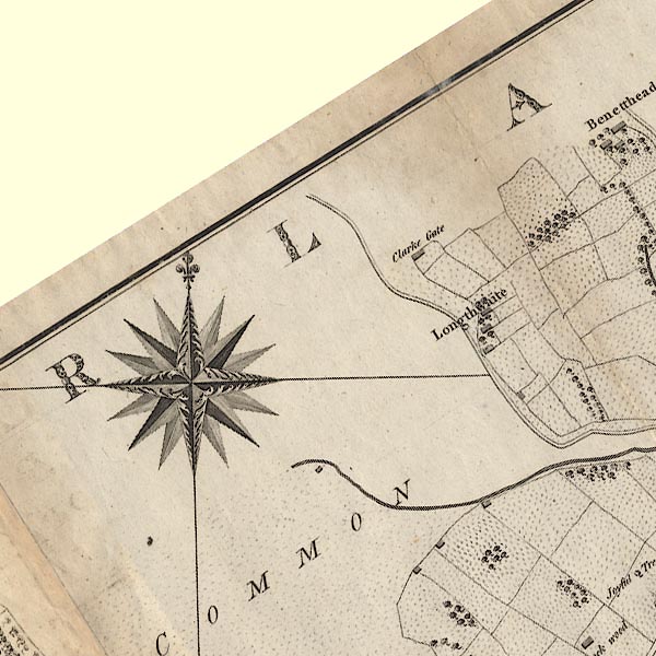
-- "Clarke Gate" -- High Longthwaite |
|
|
|
-- "Longthwaite" -- Longthwaite |
|
|
|
-- Pencilmill Beck |
|
|
civil parishes The area roughly includes parts of parishes:- Matterdale |
||
|
|
||
|
|
Lakes Guides menu. | |