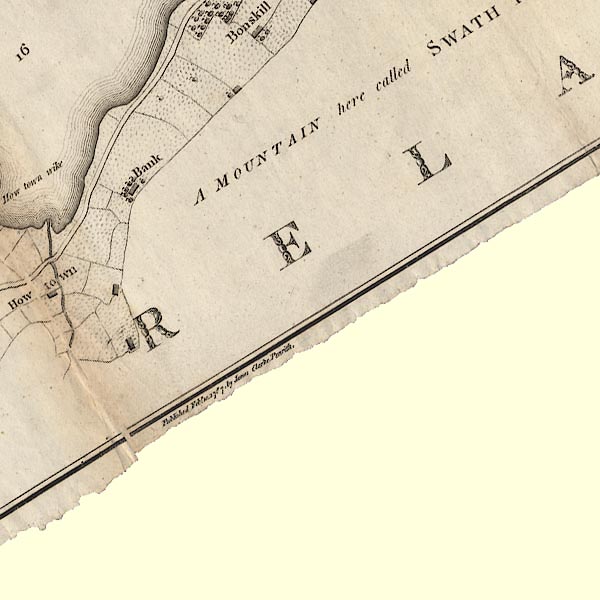
 Clarke 1787 map, tetrad NY41P

|

|
|
|
gazetteer links Places may or may not be labelled on the map. |
||

|
-- Mellguards |
|
|
|
-- Pooley Bridge to Martindale |
|
|
|
-- "Bank" -- Swarthbank |
|
|
civil parishes The area roughly includes parts of parishes:- Martindale Barton Askham Bampton |
||
|
|
||
|
|
Lakes Guides menu. | |