 Clarke 1787 map, tetrad NY41J

|

|
|
|
gazetteer links Places may or may not be labelled on the map. |
||

|
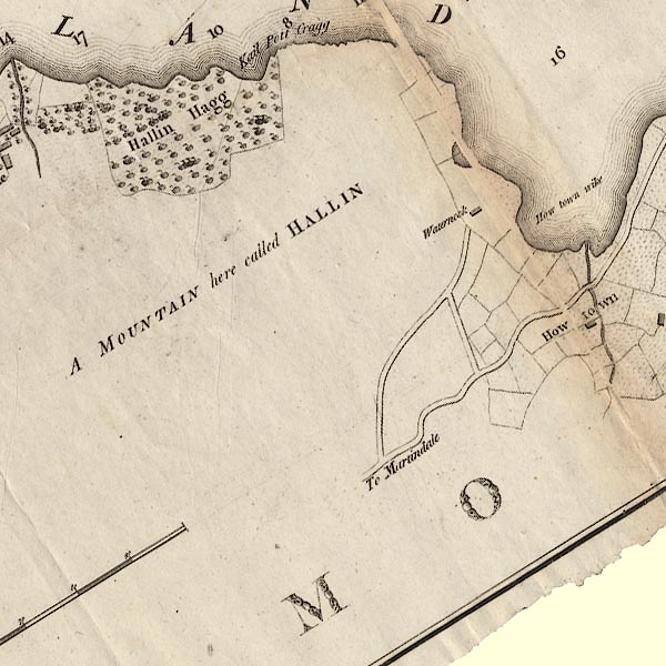
-- "Hallin" -- Hallin Fell |
|
|
|
-- "Hallin Hagg" -- Hallinhagg Wood |
|
|
|
-- "How Town Wike" -- Howtown Wyke |
|
|
|
-- "How Town" -- Howtown |
|
|
|
-- Kailpot Bay |
|
|
|
-- Pooley Bridge to Martindale |
|
|
|
-- "Waternook" -- Waternook |
|
|
civil parishes The area roughly includes parts of parishes:- Martindale |
||
|
|
||
|
|
Lakes Guides menu. | |