Saxton 1576
Rivers
click for large image
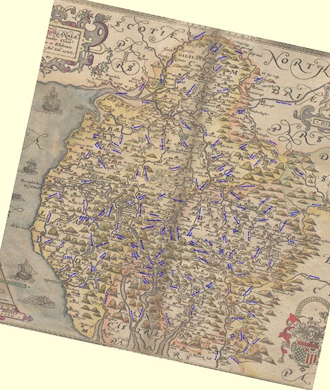
Rivers shown on Christopher Saxton's Map of Westmorland and Cumberland, 1576, identified as well as may be.
Lakes Guides menu.
 Saxton 1576
 Lakes Guides menu.