 Saxton 1576 NY24


|

|
|
|
gazetteer links places may or may not be labelled on the map |
||

|
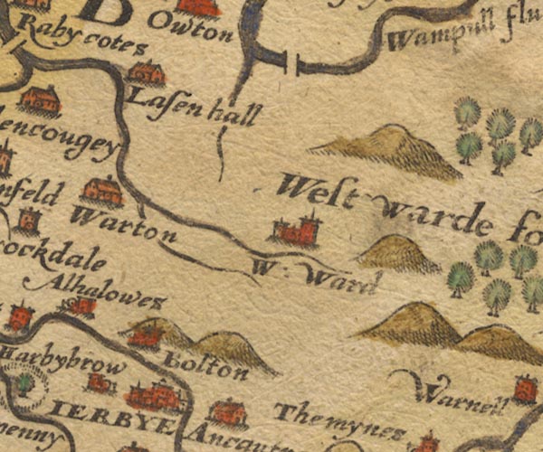
-- Boltongate -- "Bolton" |
|
|
|
-- |
|
|
|
-- Ireby -- "IERBYE" |
|
|
|
-- Lessonhall -- "Lasen hall" |
|
|
|
-- Little Waver |
|
|
|
-- Waverton -- "Warton" |
|
|
|
-- Westward -- "W: Ward" |
|
|
|
-- Wiza Beck |
|
|
civil parishes The area roughly includes parts of parishes:- Blennerhasset and Torpenhow Westward Boltons Waverton Wigton Woodside Thursby Caldbeck Ireby Bromfield Allhallows Dundraw |
||
|
|
||
|
|
Lakes Guides menu. | |