 Whellan 1858

|

|
|

|
back to object record | |
| Map Features | ||
|
|
||
| map folding |
The map is folded and tipped in as the frontispiece to
Whellan's history; see:-
WHE3Mfd.txt |
|
|
|
||
|
title
map maker publisher |
Printed upper left:-
MAP OF THE COUNTIES OF CUMBERLAND & WESTMORELAND INCLUDING THE WHOLE OF THE Lake District GEOLOGICALLY COLOURED. By William Whellan & Co. 1858. Printed bottom, left, right, and centre:- DRAWN & ENGRAVED BY W. BANKS. EDINR. Entered at Stationer's Hall PUBLISHED WITH W. WHELLAN & CO.'S HISTORY AND TOPOGRAPHY OF CUMBERLAND & WESTMORELAND. The book's geological notes are written by J G Cumming; perhaps he planned the geological colouring. The base map appears to be the same as one of the maps of The Lakes published by John Garnett, Windermere, Westmorland, 1850s-60s (for example, the map in a private collection JandMN (82_1)). Many features will not be described here: they are hidden under the geological colouring, and better described for a Garnett map. |
|
|
|
||
|
scale line
scale |
Printed lower left is a:-
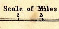
Scale of Miles marked and labelled in miles. The 5 miles = 36.8 mm gives a scale 1 to 218661. (This is very close to the scale line on JandMN (82_1)). The map scale is about:- 1 to 220000 3.5 miles to 1 inch |
|
|
|
||
| lat and long scales |
Printed in the map borders are scales of latitude and
longitude for a ?trapezoidal projection; marked in minutes,
labelled in 10s. The bottom scale is labelled:-
Longitude West from Greenwich The map includes from 2d 15m to 3d 38m W, from 54d 2m to 55d 11m North; by extending a little beyond the map borders the map includes the whole of Westmorland and Cumberland, and Lancashire north of the sands. (This is a slightly greater area than JandMN (82_1)). |
|
|
|
||
|
geology
stratigraphical column table of symbols |
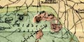
The map is geologically coloured. Geological areas are bounded by fine dotted lines, and tinted; the tints explained in a stratigraphical column printed lower left. 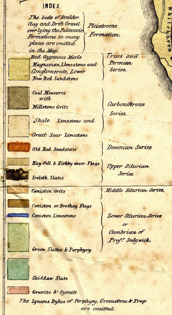
An additional table of symbols printed upper left explains:- 
[ -|-| line] Axis of the first General Elevation of the Lake District. [ === line] Axis of the second General Elevation of the Lake District. [ -.-. line] Lines of Fault diverging from the Axis of Elevation. Two great geological features are labelled:- LINE OF THE GREAT PENNINE FAULT LINE OF THE CRAVEN FAULT |
|
Lakes Guides menu.