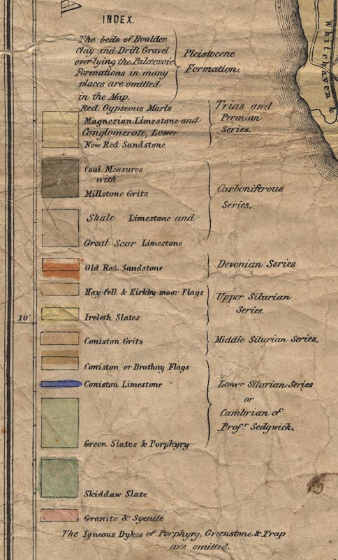
Geological map, Map of the Counties of Cumberland and
Westmorland ... Geologically Coloured, scale about 3.5 miles
to 1 inch, drawn and engraved by W Banks, Edinburgh,
Lothian, published by William Whellan and Co, 1858. (Whellan
1858)
 Lakes Guides menu.