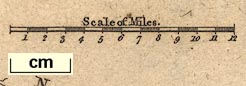
Maps, Westmoreland, scale about 6 miles to 1 inch, and Cumberland, scale about 8 miles to 1 inch, by James Wallis, London, 1812. (Wallis 1812)
Lakes Guides menu.
 Lakes Guides menu.