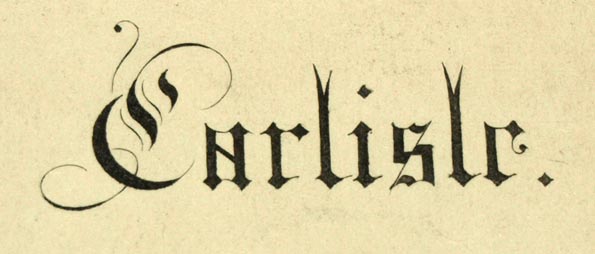
 Carlisle

|

|
|
|
map type:- Smith 1841 |
|
|
|
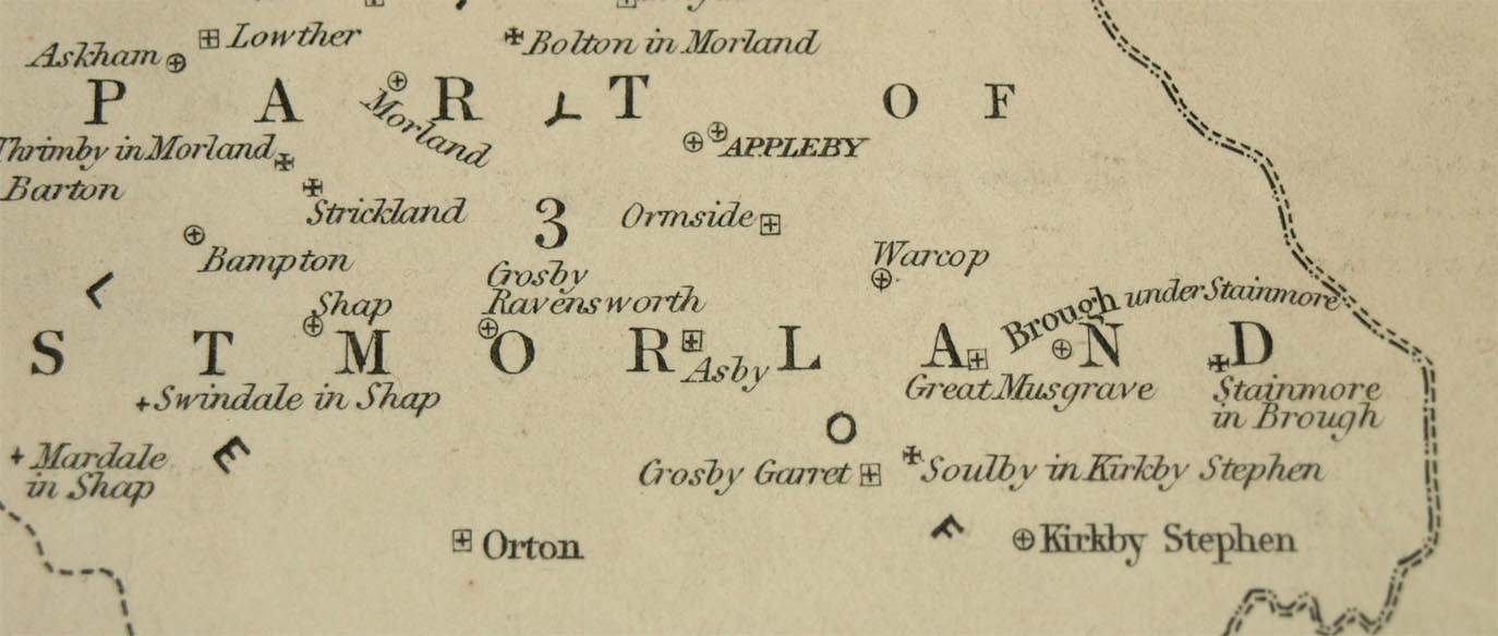
Diocesan map, Carlisle, in Cumberland, Westmorland and
part of Lancashire, scale about 9 miles to 1 inch, engraved
by J Archer, Pentonville, London, published by T Clerc
Smith, 13 Henrietta Street, Covent Garden, London, 1841.
Iincluded in the British Magazine, October 1841. Note that the adjacent areas are labelled by diocese names. |
||
|
(example Carlisle Library (158))
|
||
| map feature:- | coat of arms (Bishop of Carlisle) & table of symbols & up is N & scale line & lat and long scales & sea plain & coast shaded & county & diocese & settlements (ie churches or parishes) | |
| inscription:- |
printed upper left
Carlisle |
|
| inscription:- |
printed bottom right
Drawn & Engraved by J. Archer, Pentonville, London |
|
| inscription:- |
printed bottom centre
London, Engraved for the BRITISH MAGAZINE for Octr. 1841 & Published by T. CLERC SMITH, 13 Henrietta Street, Covent Garden. |
|
| wxh, sheet:- | 26x21cm | |
| wxh, map:- | 225x175mm | |
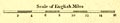
| inscription:- |
printed with scale line
Scale of English Miles |
|
| scale line:- | 16 miles = 44.2 mm | |
| scale:- | 1 to 580000 ? (1 to 582568 from scale line, assuming a statute mile) | |
|
||
| sources:- |
Carlisle Library Maps |
|
| items seen (illustrated items in bold):- | ||

|
Carlisle Library : Map 75 -- diocesan map -- Carlisle | |