 Map of the Lake Districts

|

|
|
|
map type:- Scott c1835 map |
|
|
|
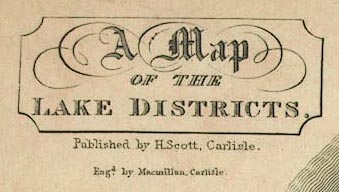
A Map of the Lake Districts, scale about 10.5 miles to 1
inch, engraved by Macmillan, Carlisle, published by Hudson
Scott, Carlisle, Cumberland, about 1835.
Folded and tipped in as frontispiece to a Guide to the Lakes of Cumberland, Westmorland, and Lancashire. |
||
|
(example Carlisle Library (7_1))
|
||
| map feature:- | folded (2x1) & plain cartouche & north point & up is N & scale line & sea plain & coast form lines & rivers & lakes & relief & hill hachuring & hillocks & table of heights & county & settlements & roads | |
| inscription:- |
printed upper left
A Map / OF THE / LAKE DISTRICTS. / Published by H. Scott, Carlisle. / Engrd. by Macmillan, Carlisle. |
|
| wxh, sheet:- | 16x14.5cm | |
| wxh, map:- | 137x127mm | |
| inscription:- |
printed with scale line
Scale of Miles. |
|
| scale line:- | 10 miles = 24.3 mm | |
| scale:- | 1 to 660000 ? (1 to 662281 from scale line) | |
|
||
| sources:- |
Carlisle Library |
|
| items seen (illustrated items in bold):- | ||

|
Carlisle Library (7_1) -- map -- Map of the Lake Districts | |