 Westmoreland
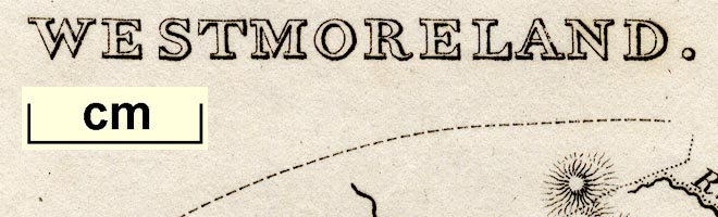

|

|
|
|
map type:- Rodwell 1834 |
|
|
|
Maps, Westmoreland, and Cumberland? by Mary Martha
Rodwell, published by Longman, Rees, Orme, Brown, Green and
Longman, London, 1834.
Published in 'The Geography of the British Isles ... By Mary Martha Rodwell ... London: Printed for Longman, Rees, Orme, Brown, Green, and Longman, Paternoster Row, London, 1834.' The atlas has small outline maps of the counties which have only the county name, towns are keyed by numbers and the rivers by letters, the purpose being to test the reader's knowledge. |
||
| references:- |
Rodwell, Mary Martha: 1834: Geography of the British Isles:
Longman, Rees, Orme, Brown, Green, and Longman, (London) |
|
| sources:- |
Chubb 1927 (CCCCLVIIIc) Armitt Library |
|
| items seen (illustrated items in bold):- | ||

|
Armitt Library : ALMC2008.14.50 -- map -- Westmoreland | |