 Map of the Lake Districts of Cumberland, Westmorland and
Lancashire
Map of the Lake Districts of Cumberland, Westmorland and
Lancashire

|

|
|
|
map type:- Religious Tract Society 1860s map |
|
|
|
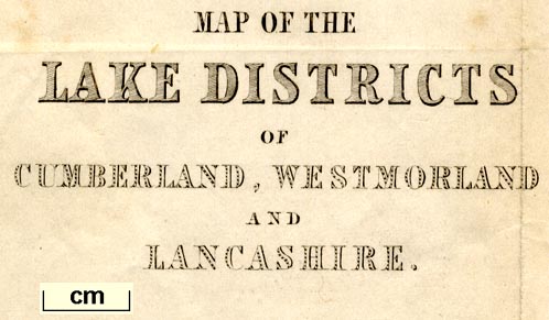
Map of the Lake Districts of Cumberland, Westmorland and
Lancashire, scale about 5 miles to 1 inch, published by the
Religious Tract Society, London, 1860s?
Included in a guide book, How To See the English Lakes. |
||
|
(example Armitt Library : A1150.1)
|
||
| map feature:- | folded (3x3) & up is N & scale line & lat and long scales & sea plain & coast shaded & rivers & lakes & relief & hill hachuring & spot heights & forests & parks & county & settlements & roads & railways | |
| inscription:- |
printed lower left
MAP OF THE / LAKE DISTRICTS / OF / CUMBERLAND, WESTMORLAND / AND / LANCASHIRE. |
|
| wxh, sheet:- | 24.5x34.5cm | |
| wxh, map:- | 224x315mm | |
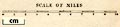
| inscription:- |
printed with scale line
SCALE OF MILES |
|
| scale line:- | 10 miles = 52.3 mm | |
| scale:- | 1 to 310000 ? (1 to 307714 from scale line) | |
|
||
| sources:- |
Armitt Library |
|
| items seen (illustrated items in bold):- | ||

|
Armitt Library : A1150.1 -- map -- Map of the Lake Districts of Cumberland, Westmorland and Lancashire | |