 General Post Office Circulation Map for England and
Wales
General Post Office Circulation Map for England and
Wales

|

|
|
|
map type:- Post Office 1850s-1900s |
|
|
|
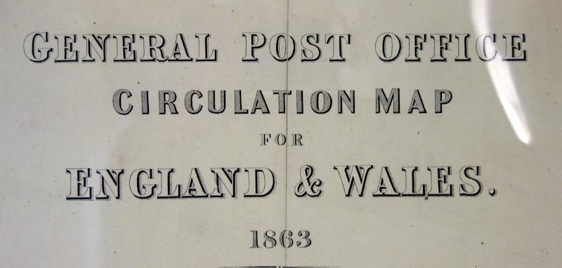
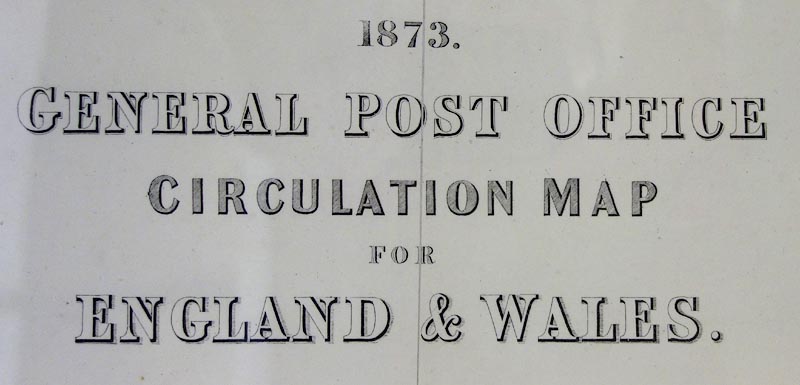
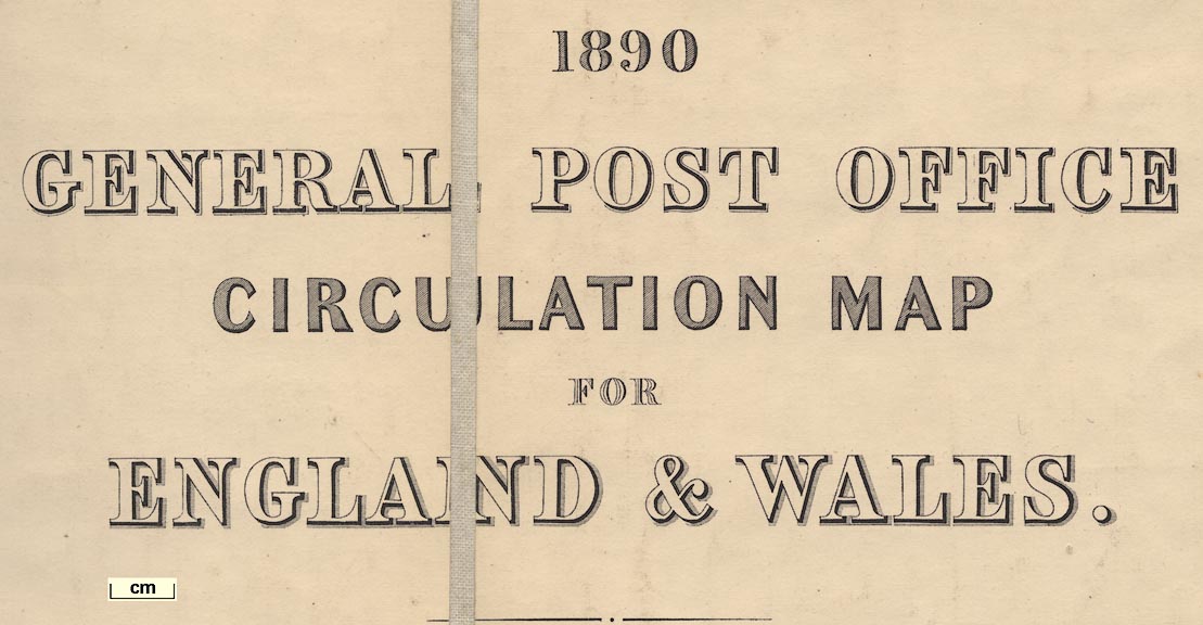
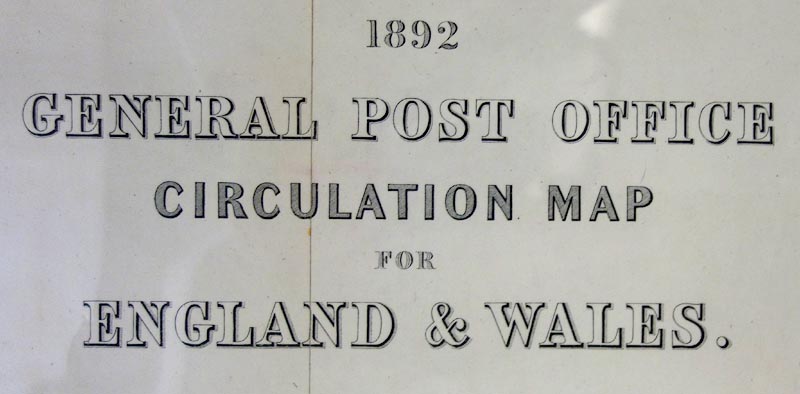
Post road maps, General Post Office Circulation Map for
England and Wales, for the General Post Office, London,
1850s-1900s.
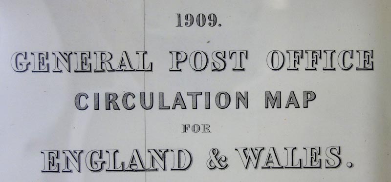
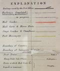
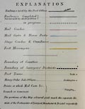
The series of maps show how the mails are delivered across the country by post roads and railways at different periods; mail coaches and carts, stage coaches and omnibuses, rural postmen mounted or on foot, or on tricycles. Post towns, money order sub offices, and the end points of mails are shown. |
||
|
(example map)
|
||
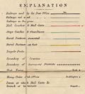
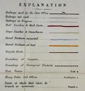
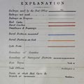
| map feature:- | up is N & table of symbols & settlements & post roads & railways & shipping routes | |
|
||
|
||
|
||
|
||
|
||
|
||
| sources:- |
HMCMS Map Collection British Postal Museum and Archive |
|
| items seen (illustrated items in bold):- | ||

|
British Postal Museum and Archive (3) -- post road map -- General Post Office Circulation Map for England and Wales | |
|
|
British Postal Museum and Archive (4) -- post road map -- General Post Office Circulation Map for England and Wales | |
|
|
British Postal Museum and Archive (5) -- post road map -- General Post Office Circulation Map for England and Wales | |
|
|
British Postal Museum and Archive (6) -- post road map -- General Post Office Circulation Map for England and Wales | |
|
|
Hampshire Museums : FA2001.173 -- map -- General Post Office Circulation Map for England and Wales | |