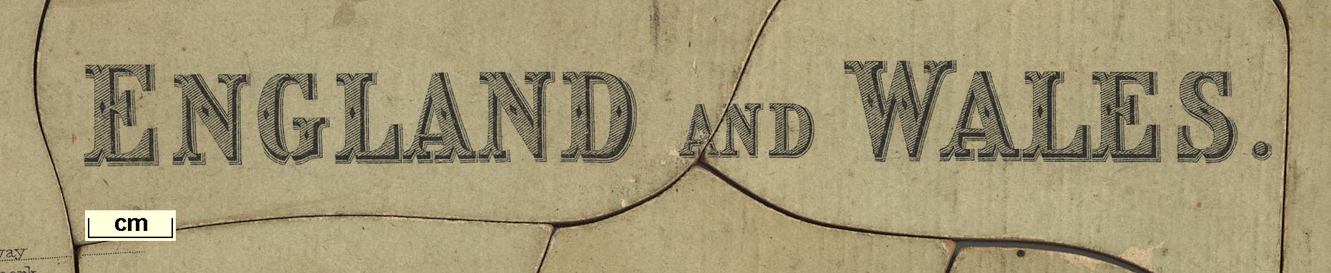
 England and Wales

|

|
|
|
map type:- Philip 1900s |
|
|
|
Map, jigsaw puzzle, England and Wales, scale about 17.5
miles to 1 inch, by George Philip and Son Ltd, The London
Geographical Institute, 1900s?
|
||
|
(map example JandMN (95))
|
||
| map feature:- | up is N & scale line & table of symbols & sea tinted & coast tinted & rivers & lakes & relief & hill hachuring & county & roads & railways & shipping routes | |
| inscription:- |
printed upper right
ENGLAND AND WALES |
|
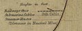
| inscription:- |
printed bottom, left and right
George Philip & Son, Ltd. / The London Geographical Institute |
|
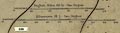
| scale line:- | 50 miles = 72 mm (about) | |
| scale:- | 1 to 1100000 ? (1 to 1117600 from scale line) | |
| wxh, jigsaw:- | 54x65cm | |
|
||
|
||
| sources:- |
JandMN Collection |
|
| items seen (illustrated items in bold):- | ||

|
JandMN : JIG328 -- map -- England and Wales | |