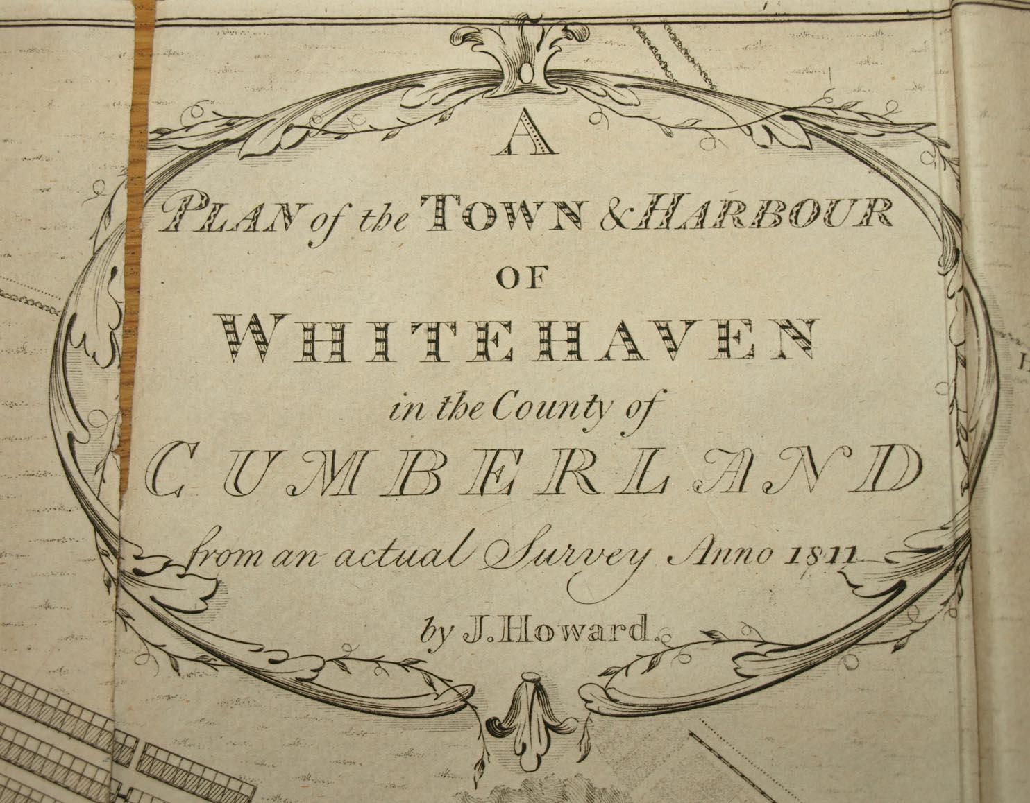
 Plan of the Town and Harbour of Whitehaven

|

|
|
|
map type:- Howard 1790s |
|
|
|
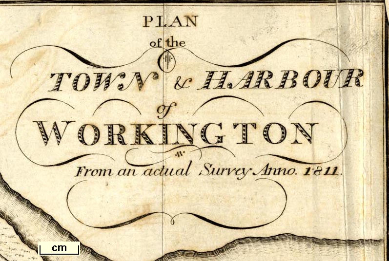
Town plans, Plan of the Town and Harbour of Whitehaven,
scale about 26 inches to 1 mile, Plan of the Town and
Harbour of Workington, scale about 16 inches to 1 mile, and
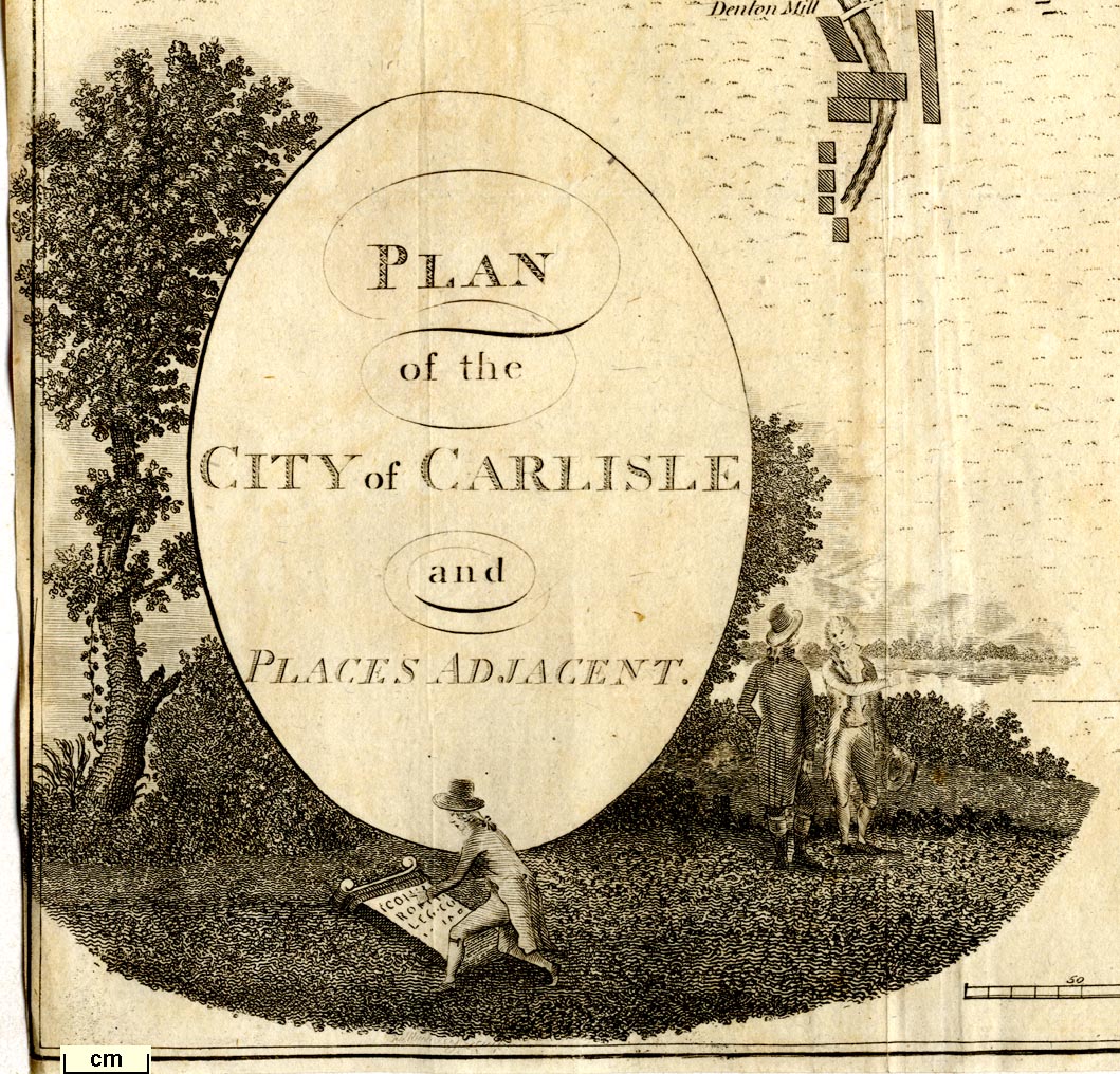
Plan of the City of Carlisle and Places Adjacent, scale
about 19 inches to 1 mile, published by F Jollie, Carlisle,
Cumberland, 1794.
Included in The History of the County of Cumberland by William Hutchinson. Published again, Carlisle and Workington, in Jollie's Cumberland Guide and Directory, 1811. |
||
| map feature:- | streets | |
|
||
|
||
| sources:- |
Armitt Library Kendal Library Maps Carlisle Library |
|
| items seen (illustrated items in bold):- | ||

|
Armitt Library : A214.1 -- street map -- Plan of the City of Carlisle and Places Adjacent | |
|
|
Armitt Library : A214.6 -- street map -- Plan of the Town and Harbour of Workington | |
|
|
Carlisle Library : Map 128 -- street map -- Plan of the Town and Harbour of Whitehaven | |
|
|
Carlisle Library (4_1) -- street map -- Plan of the City of Carlisle and Places Adjacent | |
|
|
Carlisle Library (4_3) -- street map -- Plan of the Town and Harbour of Workington | |
|
|
Carlisle Library (4_4) -- street map -- Plan of the Town and Harbour of Whitehaven | |
|
|
Kendal Library (12_5) -- street map -- Plan of the Town and Harbour of Whitehaven | |
|
|
Kendal Library (12_6) -- street map -- Plan of the Town and Harbour of Workington | |
|
|
Kendal Library (12_9) -- street map -- Plan of the City of Carlisle and Places Adjacent | |