 Plan of Lancaster

|

|
|
|
map type:- Housman 1800 map 3 |
|
|
|
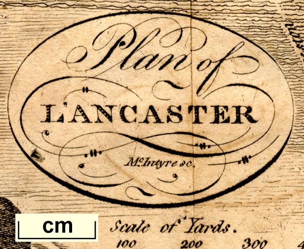
Town plan, Plan of Lancaster, Lancashire, scale about 5.5
inches to 1 mile, engraved by McIntyre, published by F
Jollie, Carlisle, Cumberland, 1800.
Included in a guide book, A Descriptive Tour, and Guide to the Lakes, Caves and Mountains, by John Housman, 1800 onwards. |
||
|
(example JandMN (233_10))
|
||
| map feature:- | title cartouche & north point & up is S (S by W) & scale line & rivers & settlements & roads & streets | |
| inscription:- |
printed oval cartouche, upper left
Plan of / LANCASTER / McIntyre sc. |
|
| wxh, sheet:- | 14x17.5cm | |
| wxh, map:- | 118x152mm | |
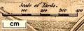
| inscription:- |
printed with scale line
Scale of Yards. |
|
| scale line:- | 400 yards = 32.8 mm | |
| scale:- | 1 to 11000 ? (1 to 11151 from scale line) | |
|
||
| sources:- |
JandMN Collection |
|
| items seen (illustrated items in bold):- | ||

|
JandMN (233_10) -- map -- Plan of Lancaster | |