 Great Roads of England and Wales

|

|
|
|
map type:- Feltham 1803 map 1 |
|
|
|
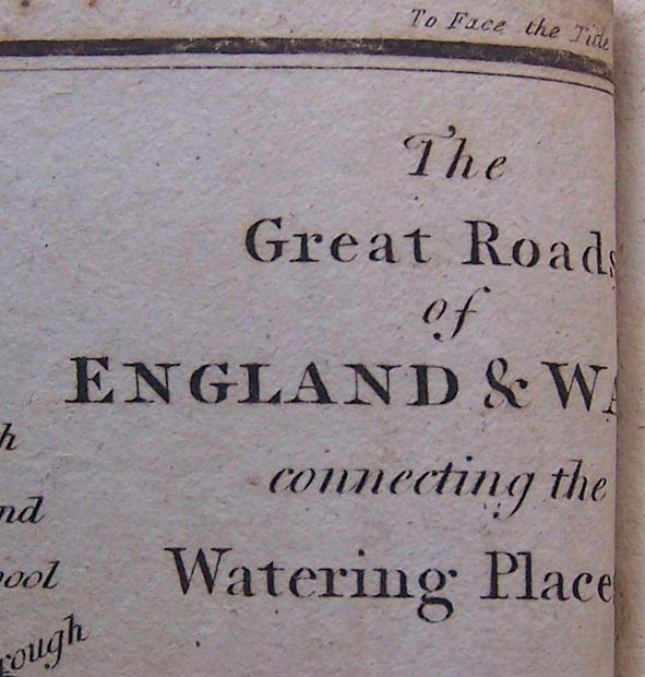
Map, The Great Roads of England and Wales, connecting the
watering places, scale about 61 miles to 1 inch, included in
A Guide to all the Watering and Sea Bathing Places, by John
Feltham, published by Richard Phillips, 71 St Paul's
Chuchyard, London, 1st edn 1803.
|
||
|
(map example )
|
||
| map feature:- | sea plain & coast shaded & settlements & roads | |
| inscription:- |
printed upper right
The / Great Roads / of / ENGLAND & WALES / connecting / the Watering Places. |
|
| inscription:- |
printed top left and right
PL.1. / To Face the Title Page. |
|
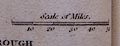
| scale line:- | 50 miles = 20.7 mm | |
| scale:- | 1 to 3900000 ? (1 to 3887304 from scale line assuming a statute mile) | |
| wxh, sheet:- | 17.5x16cm (approx) | |
|
||
| sources:- |
Armitt Library Bicknell 1990 |
|
| items seen (illustrated items in bold):- | ||

|
Armitt Library : A1127.1 -- map -- Great Roads of England and Wales | |