 Britannia Romana

|

|
|
|
map type:- Camden 1695 map |
|
|
|
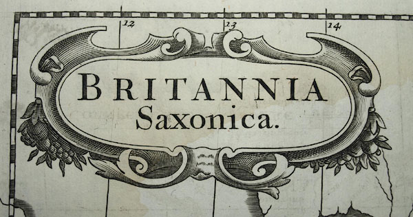
Maps, Britannia Romana, and Britannia Saxonica, published
by A Swale, The Unicorn, St Paul's Churchyard, and by A and
J Churchil, The Black Swan, Paternoster Row, London, 1695.
Included in Britannia by William Camden, 1586, translated from Latin and expanded by Edmund Gibson, 1695. Included, reengraved, in the edition of Britannia translated by Richard Gough, published London, 1789; with text about the etymology of Saxon place names, by Richard Gough. |
||
| see:- | Camden 1695 | |

|
Camden 1789 map | |
|
(example Armitt Library : A6588.2)
|
||
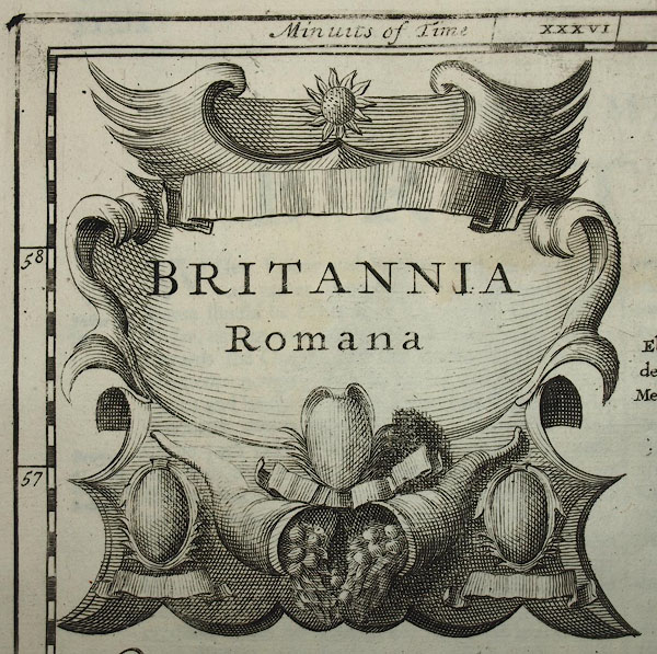
| map feature:- | scroll cartouche & up is N & scale line & lat and long scales (slanted trapezoidal projection; latitude 0 is about 8m W of London, the scale is labelled Degrees from London) & sea plain & coast shaded & rivers & lakes & relief & hillocks & tribal areas & settlements & roman towns | |
| inscription:- |
printed upper left
BRITANNIA / Romana |
|
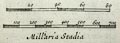
| inscription:- |
printed with scale line
Milliaria Stadia |
|
| wxh, page:- | 44x39cm (guess) | |
| wxh, image:- | 357x423mm (guess) | |
| scale line:- | 80 ? = 53.7 mm | |
| scale line:- | 700 ? = 58.1 mm | |
| scale:- | ||
|
||
|
||
| sources:- |
Armitt Library Kendal Library Maps |
|
| items seen (illustrated items in bold):- | ||
|
|
Armitt Library : A6588.2 -- map -- Britannia Romana -- Roman Britain | |
|
|
Armitt Library : A6588.3 -- map -- Britannia Saxonica -- Saxon Britain | |
|
|
Kendal Library : Map 144 -- map -- Britannia Saxonica -- Saxon England | |