 Bacon's Map of Cumberland and Westmorland

|

|
|
|
map type:- Bacon 1896-1902 |
|
|
|
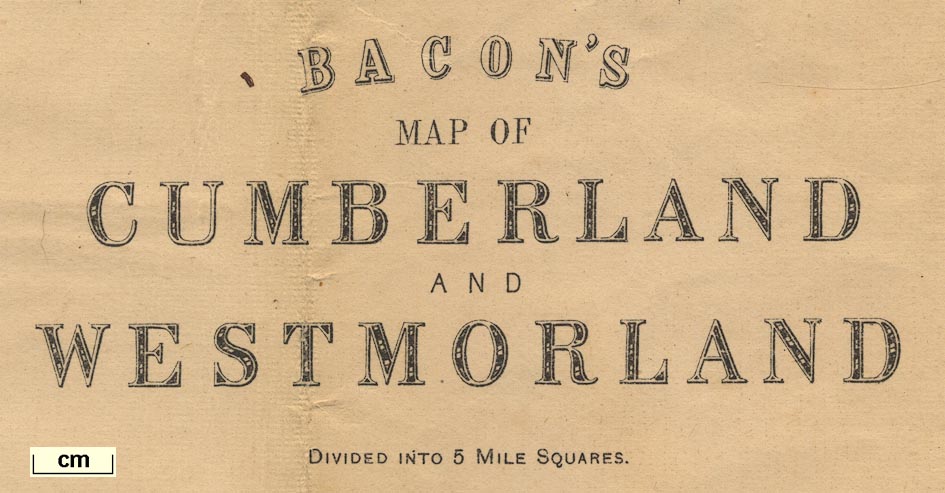
Bacon's County Map and Guide, Bacon's Map of Cumberland
and Westmorland, scale about 3.5 miles to 1 inch, by George
W Bacon and Co, 127 Strand, London; published 1896-1902.
Includes Lancashire north of the sands, and minimal detail in surrounding counties. |
||
|
(map example JandMN (71))
|
||
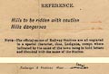
| map feature:- | mounted (linen) & folded & card covers & up is N & scale line & lat and long scales & index grid (5 mile squares) & sea tinted & coast line & rivers & relief & hill hachuring & spot heights & dangerous hills & lakes & woods & trees & forests & parks & county & settlements & roads & railways & canals | |
| inscription:- |
printed cover
SHOWING DANGER HILLS / BACON'S COUNTY MAP / AND / GUIDE / CUMBERLAND / WITH PARTS OF ADJOINING COUNTIES / FOR CYCLISTS AND TOURISTS. / On Cloth, In Case, 1s. net. / LONDON : G. W. BACON & Co., Ltd., 127, STRAND. black and red on grey; gentleman and lady cyclists on a road by the Thames at Windsor |
|
| inscription:- |
printed upper left
BACON'S / MAP OF / CUMBERLAND / AND / WESTMORLAND / DIVIDED INTO 5 MILE SQUARES. |
|
| wxh, folded:- | 10x17.5cm | |
| wxh, sheet:- | 51.5x65cm | |
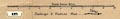
| wxh, map:- | 481x613mm | |
| scale line:- | 10 miles = 75.2 mm | |
| scale:- | 1 to 210000 ? (1 to 214009 from scale line) | |
|
||
|
||
| sources:- |
JandMN Collection |
|
| items seen (illustrated items in bold):- | ||

|
JandMN (71) -- road map -- Bacon's Map of Cumberland and Westmorland -- Bacon's County Map and Guide, Cumberland | |