item:-
Armitt Library : 2008.14.92
image:-
©
see bottom of page
TSD7.jpg
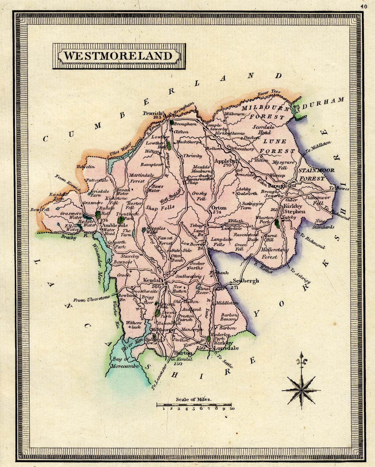
Map, hand coloured engraving, Westmoreland ie Westmorland, scale about 8 miles to 1 inch, published by Henry Teesdale and Co, 302 Holborn, London, 1830.
Lakes Guides menu.
 Lakes Guides menu.