item:- JandMN : 87
image:- © see bottom of page
 TSD5.jpg
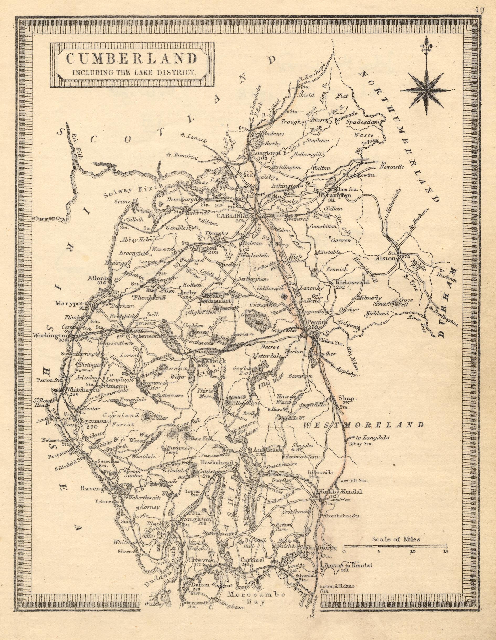
Map, uncoloured lithograph made from an engraving, Cumberland
including the Lake District, scale about 11.5 miles to 1 inch,
by Teesdale 1830, lithographed and published by John Heywood,
Manchester, 1868.
 Lakes Guides menu.