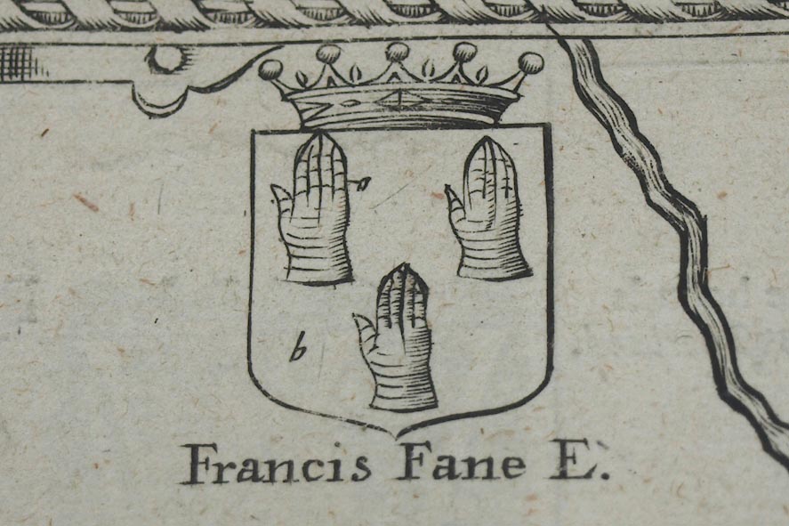
Map, uncoloured engraving, The Countie Westmorland and
Kendale the Cheif Towne, scale about 2.5 miles to 1 inch, by
John Speed, 1610, published by Thomas Bassett, Fleet Street
and Richard Chiswell, St Paul's Churchyard, London, 1676.
(Kendal Library : Map 1)
 Lakes Guides menu.