item:-
Armitt Library : 2008.14.35
image:-
©
see bottom of page
SL15.jpg
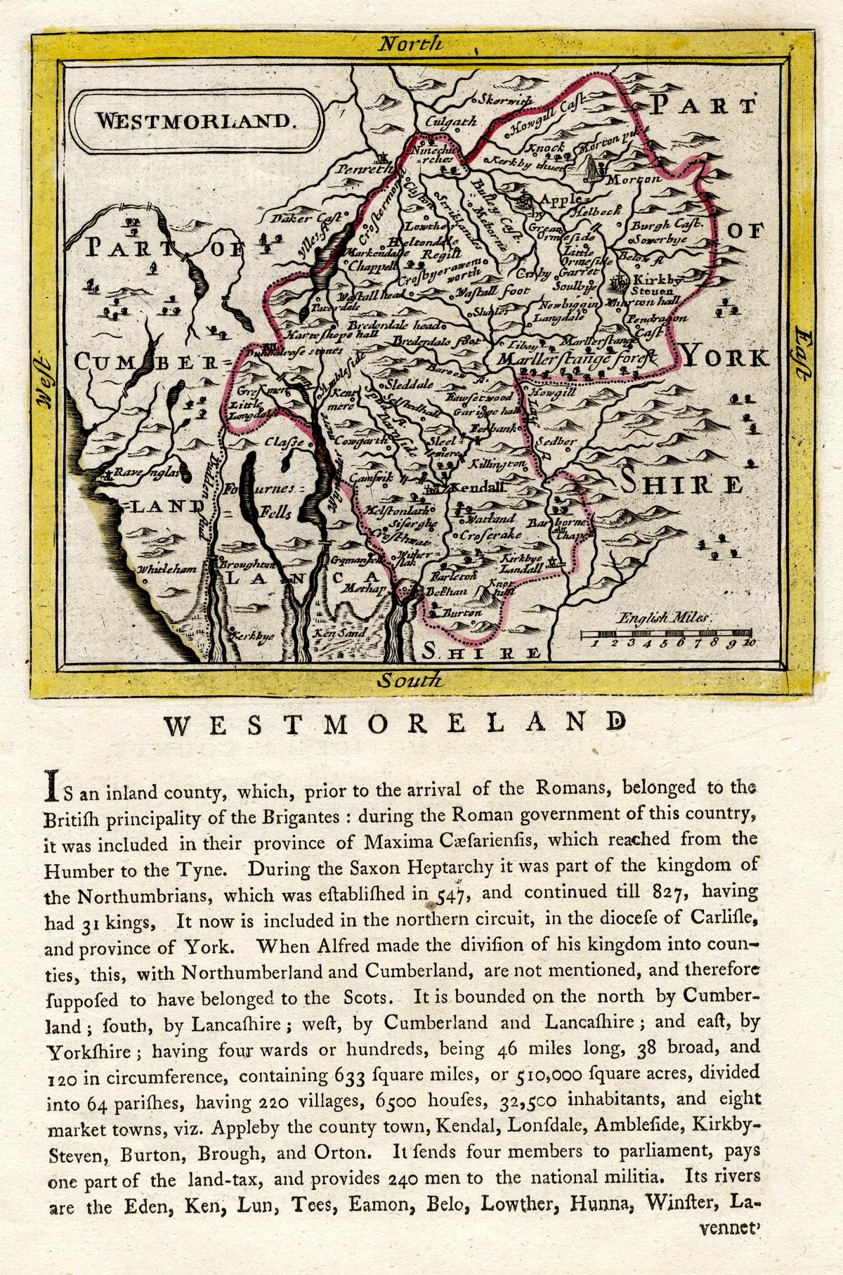
Map, hand coloured engraving, Westmorland, scale about 8 miles to 1 inch, by John Seller, 1694, published , by Samuel Hooper, 212 High Holborn, London, 1787.
Lakes Guides menu.
 Lakes Guides menu.