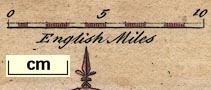
Maps, Westmorland, scale about 7.5 miles to 1 inch, and Cumberland, scale about 12 miles to 1 inch, by John Rocque, published by Thomas Read, London, 1746; published 1746-69. (Rocque 1746)
Lakes Guides menu.
 Lakes Guides menu.