 Ramsay 1866

|

|
|

|
back to object record | |
| MAP FEATURES | ||
|
These notes are strongly biased towards interest in
Westmorland and Cumberland, features in other parts might be
ignored.
|
||
|
|
||
|
title
geologist map maker publisher |
Printed top right:-
GEOLOGICAL MAP OF ENGLAND & WALES BY ANDREW C. RAMSAY, F.R.S.& G.S. Local Director of the Geological Survey of Great Britain, Professor of Geology in the Government School of Mines. ... And at the bottom:- London; Published by Edward Stanford, 6 Charing Cross, January 15th. 1866 Among the sources mentioned on the map are Professor Adam Sedgwick and Mr Ruthven for Cumberland and Westmorland. Stratigraphy see:- RMS1Geo.txt |
|
|
|
||
|
orientation
up is N |
The map is printed with North at the top of the
sheet.
|
|
|
|
||
|
scale line
scale |
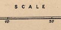
The map has a scale line; marked and labelled at 10 mile intervals. The 30 miles = 62.5 mm gives a scale 1 to 772485 assuming a statute mile. The map scale is about:- 1 to 770000 12 miles to 1 inch |
|
|
|
||
|
lat and long scales
lat and long grid |
Printed in the map borders are scales of latitude and longitude; chequered at 10 minutes intervals, labelled at degrees. A graticule is drawn over the map at degree intervals. |
|
|
|
||
|
sea area
sea plain |
The sea area is plain. Some sea areas are labelled,
eg:-
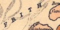
SOLWAY FRITH Morecambe Bay |
|
|
|
||
|
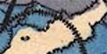
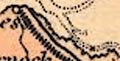
coast line
headlands foreshore sandbanks lighthouses |
The coast line is unemphasised.
A headland might be noticed, eg:- 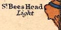
St Bees Head Foreshore shallows and sandbanks are indicated by dotted areas as in the Solway Firth. Lighthouses might be labelled, for example on Walney Island and at St Bees Head:- Light |
|
|
|
||
| rivers |
Rivers are drawn by a wiggly line tapering upstream. Some rivers are labelled, eg:- R. Eden Liddel R. Riv. Rawther |
|
|
|
||
| lakes |
Lakes are drawn in outline, and might be labelled
(remember that these notes are for the Lakes):-
Bassenthwaite Wr. Coniston Water Crummock Water Derwent Wr. Devoke Wr. Elter Water Ennerdale Water Grasmere L. Haw Water [Haweswater] Ha[w]s Water [Hayes Water] Kentmere Tarn Lily Tarn [Killington Reservoir?] Lowes Water Thirle Mere 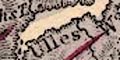
Ulles Water Wast Water Winander Mere Other lakes might be recognised, eg:- Buttermere Esthwaite Water Rydal Water |
|
|
|
||
|
relief
hill hachuring spot heights |
Relief is indicated by hill hachuring. Some hills are
labelled, some with a spot height, eg:-
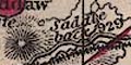
Saddleback / 929 Cross fell / 968 Skiddaw Helvellyn / 1108 Benson Knot |
|
|
|
||
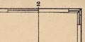
| parks |
A few parks are drawn in outline, or just labelled,
eg:-
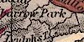
Gowbarrow Park |
|
|
|
||
| county |
County boundaries are a fine dotted line, difficult to see under the geological colouring, continued along other features as at the River Eamont at Penrith. County areas are labelled, eg:- WESTMORLAND |
|
|
|
||
| settlements |
Settlements are marked by blocks or a circle,
differentiated by style of labelling.
|
|
| cities |
blocks; labelled in upright block caps, eg:-
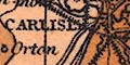
CARLISLE |
|
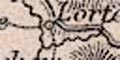
| towns |
blocks; labelled in upright lowercase text, eg:-
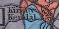
Kirkby Kendal Ambleside |
|
|
villages
hamlets |
circle; labelled in italic lowercase text, eg:-
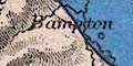
Bampton Dent Askham |
|
|
|
||
| roads |
A network of roads is drawn by double lines for larger roads, single lines for lesser roads. The double lines are mostly light bold, suggesting turnpikes? |
|
|
|
||
| railways |
Railways are drawn by a line with cross ties. |
|
|
|
||
| canals |
Canals are drawn by a bold line. In Cumbria the canals shown are:- |
|
| Lancaster Canal |
from the south to Kendal, labelled:-
Lancaster Can. |
|
| Carlisle Canal |
from Carlisle to Bowness on Solway, labelled:-
Skin[.] Canal perhaps:- Skinburness Canal |
|
|
|
||
|
geology
table of strata |
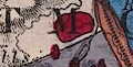
The purpose of this map is geology, which is indicated by heavy colouring, each area bounded by an engraved line. Looking closely at the tints it is possible to see that it is very careful hand colouring. 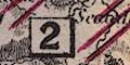
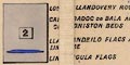
Larger areas are labelled with a number in a simple box. Colour and number refer to a table of strata printed upper right, below the map title. 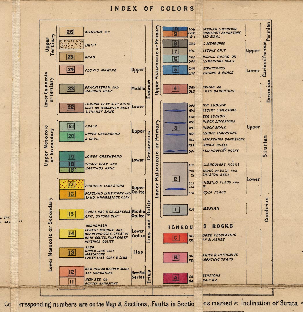
Notice that the Ordovician does not figure in this table. There are geological notes around the outside of the land area. For Cumbria there are:- COAL WORKS BENEATH THE SEA at Workington. And:- RICH IRON ORE AT ULVERSTON RED HEMATITE both printed off the Duddon Estuary. |
|
Lakes Guides menu.