item:- Armitt Library : A1150.1
image:- © see bottom of page
 RL02.jpg
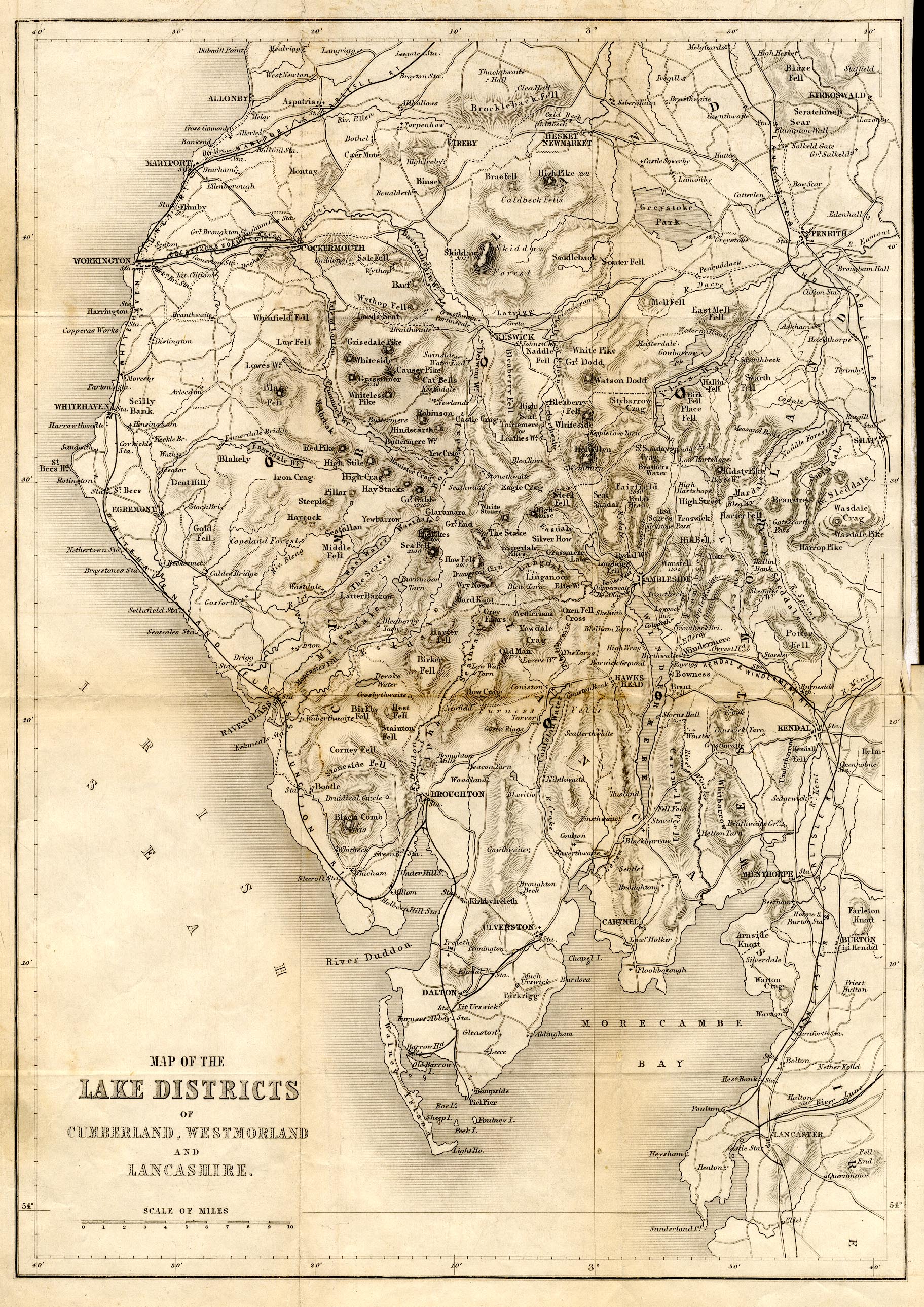
Map, uncoloured engraving, Map of the Lake Districts of
Cumberland, Westmorland and Lancashire, scale about 5 miles to 1
inch, published by the Religious Tract Society, London, 1860s?
 Lakes Guides menu.