item:- JandMN : 102.1
image:- © see bottom of page
 RG02.jpg
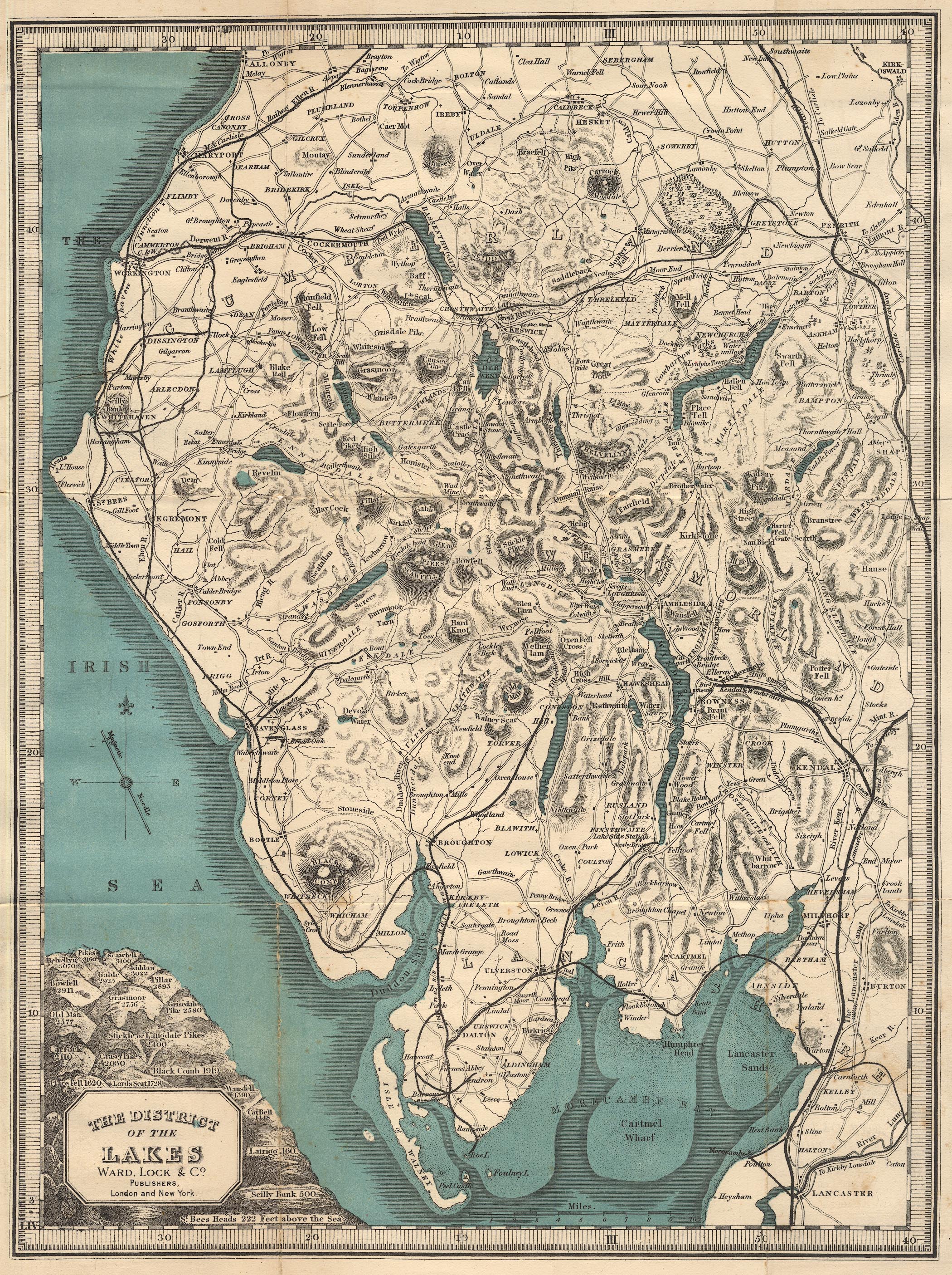
Map, colour lithograph, The District of the Lakes, scale about 4
miles to 1 inch, copied from the map by Jonathan Otley, 1818,
published by Ward, Lock and Co, Warwick House, Salisbury Square,
London, etc, 1892.
 Lakes Guides menu.