item:- Armitt Library : 2008.14.51
image:- © see bottom of page
 RD01.jpg
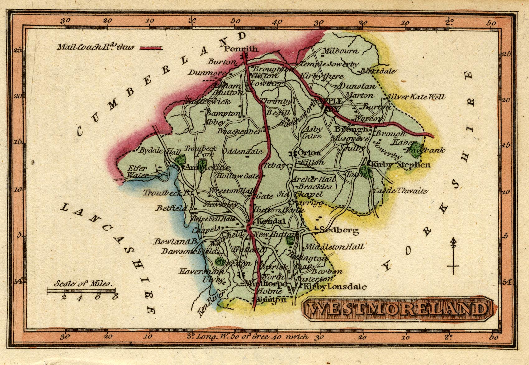
Map, hand coloured engraving, Westmoreland ie Westmorland, scale
about 14.5 miles to 1 inch, printed by James Wallis, Berwick
Street, Soho, published by W H Reid, Charing Cross, London,
about 1820.
 Lakes Guides menu.