item:- Armitt Library : 2008.14.126
image:- © see bottom of page
 PNK7.jpg
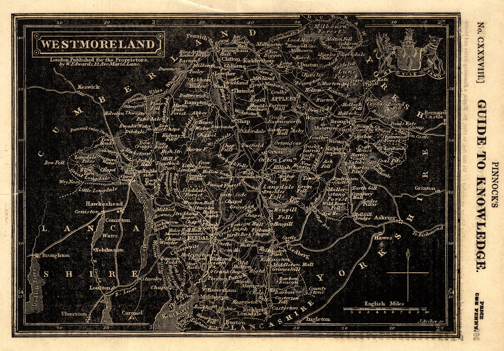
Map, reversed out white on black, Westmoreland ie Westmorland,
scale about 6 miles to 1 inch, engraved by J Archer, published by William Edwards,
12 Ave Maria Lane, London, 1834.
 Lakes Guides menu.